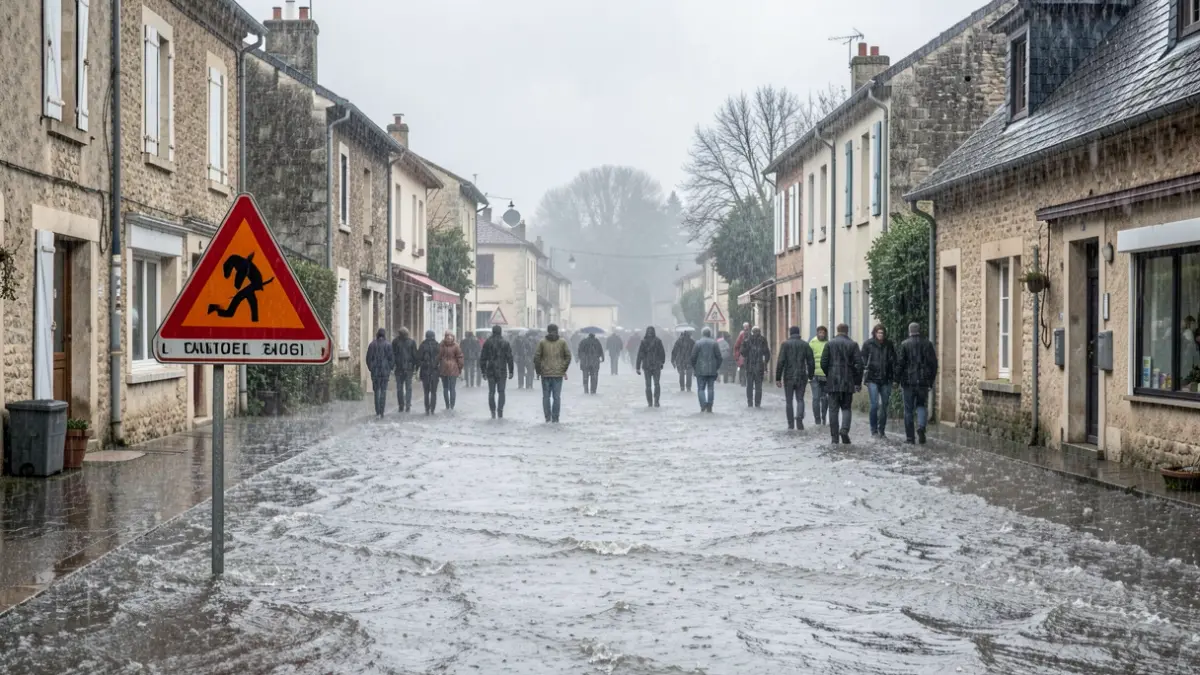

High intensity rainfall is expected during the afternoon. Over the course of the event, accumulations could range from 80 to 150 mm generally. In the eastern half of the department, including the plains and the coast, accumulations could reach 200 to 250 mm, or even 300 mm.
Météo France has indicated a risk of the alert escalating to red by midday. Rainfall will progressively intensify, with 60 to 80 mm possible in less than an hour. This will be accompanied by strong thunderstorms, gusts of wind around 80 km/h, hail, significant electrical activity, and possible swirling phenomena in coastal and plain areas.
The intensity will remain high this evening and through Monday night into Tuesday, with risks of stationary rain and accumulations of 120 to 150 mm in less than 3 hours.
Furthermore, the Lez, upstream Hérault, and Vidourle rivers are on orange alert, while the Orb and downstream Hérault are on yellow alert.
The utmost vigilance is recommended during this event, particularly regarding travel, and especially fording water crossings.