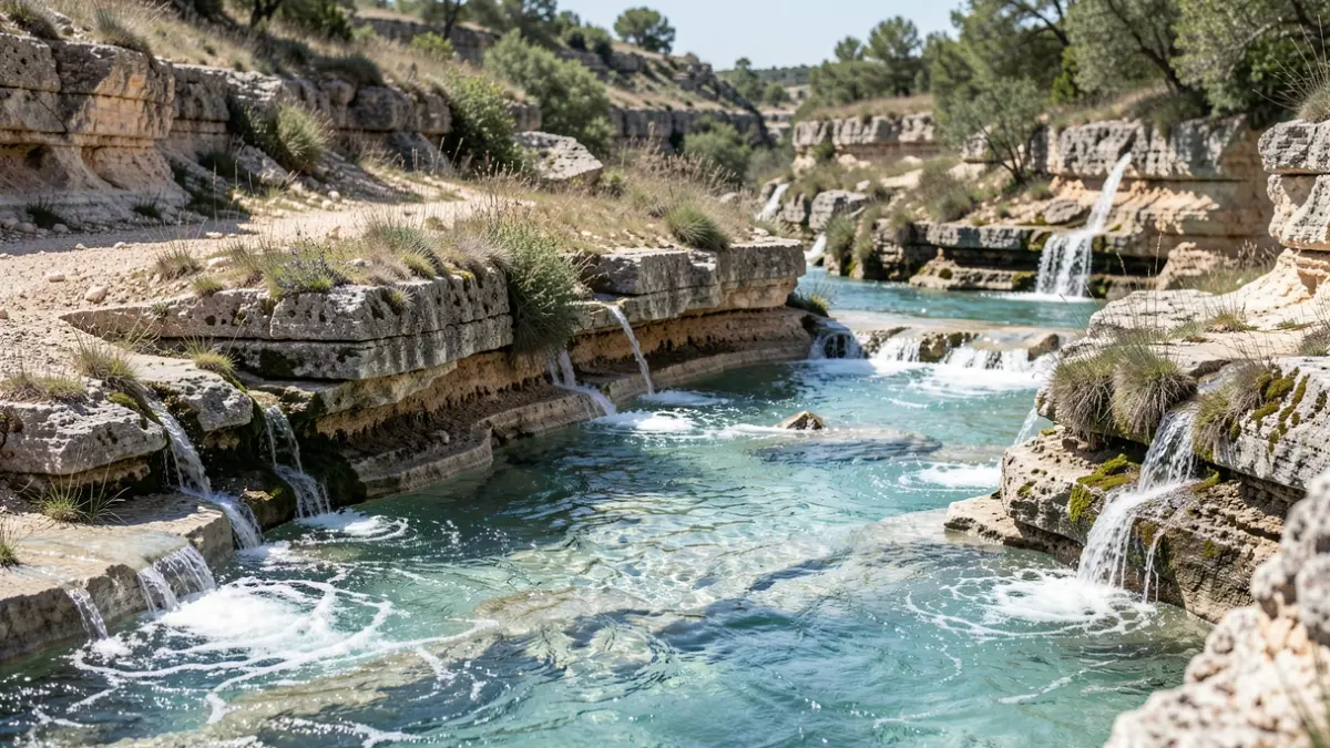
The precise objective of this study is to answer the question of where the water that infiltrates into the dry riverbeds upstream of the Vidourle watershed goes, including rivers like the Valestalière, Crespenou, and Rieu Massel. The study, nicknamed 'karst study', aims to understand the underground path of this water and its resurgence points.
To achieve this, watercourses have been instrumented to measure their flow rates. Large underground water reservoirs in limestone massifs have been equipped with groundwater level measurement systems, and the chemical characteristics of the waters have been analyzed. Four tracing campaigns have already improved knowledge of groundwater circulation. It was observed that water infiltrating the Vidourle downstream of Saint-Hippolyte du Fort resurfaces quickly (about 5 days) at the Fontaine de Sauve, while water from the Crespenou takes over 15 days to reappear at the Source des Oules.
Further investigations are planned before the study's conclusion in early 2027. Specifically, a fifth tracing campaign should help delineate the boundary between the underground basin feeding the Vidourle and the one feeding the Lez in the Coutach massif.
Thanks to the pedagogical skills of the lead hydrogeologist, mayors and elected officials from the concerned municipalities appreciated the study's richness and its contribution to improving knowledge for sustainable water resource management.