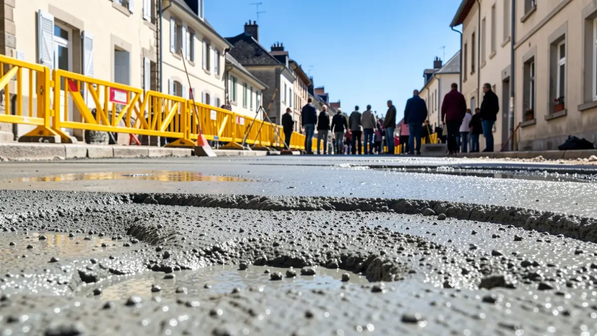
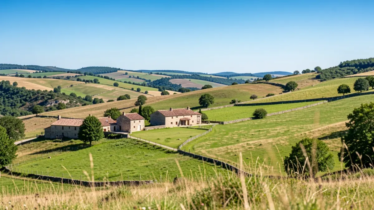
The French application Openrunner, specializing in planning, creating, and sharing routes for outdoor activities, has integrated data from Rando-Aubrac.fr since August. Now, when displaying Aubrac hikes on Openrunner's interfaces, the routes are clearly identified as 'created and validated by tourism institutions'.
This partnership is part of a policy to enhance the online presence of official routes. These trails have been specifically marked, maintained, and secured regarding land rights. Consequently, the foundational work carried out by hiking committees for marking, maintenance by local authorities, and promotion by Tourist Offices is highlighted across all practice sites.
Currently, most access to hiking routes is through digital channels. Therefore, it is essential to make the qualified offerings from various sector stakeholders visible to the widest possible audience.