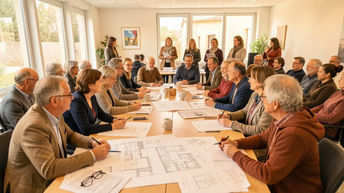
The elected officials of the municipal majority in Maubourguet met on the evening of Wednesday, October 7th, to review the final report of the Road Safety Master Plan. This study, conducted by the engineering and environmental firm ENEA, aims to improve the sharing of public space and road safety within the town.
The municipal council had wished to address issues of safety and public space sharing, including speed, visibility, parking, pedestrian pathways, and cycling. These topics, frequently raised by residents and identified as "difficult points" by the elected officials, require particular attention.
The objective of this study is to provide an objective and shared diagnosis to define priorities and gradually implement appropriate improvements. The master plan focuses on key areas of the town, particularly the southern entrances (Avenue de Tarbes), western entrances (Avenues de Pau et de Bordeaux, Faubourg), as well as Allées Larbanès, the Pont de l’Échez, Rue du Général de Gaulle, Route de Sauveterre, Avenue des Châteaux, and Avenue d’Auch.
Three main orientations guide the reflection: securing and better sharing public space, promoting active mobility, and improving user comfort while limiting the landscape impact of future developments.
Traffic counts conducted recently reveal generally satisfactory speeds during the day in the town center, with, for example, a V85 of 29 km/h on Allées Larbanès. However, a significant difference is noted at night, where speeds can reach approximately 40 km/h in certain sectors despite the 30 km/h zone. A flow of heavy goods vehicles crossing the town center has also been identified, even though a diversion route is available.
The diagnosis also highlights the need for better traffic flow organization at the intersection of Avenues de Pau and de Bordeaux, especially for the safety of middle school students who use this area daily. The old town center presents constraints due to narrow streets and the proximity of building facades to traffic, affecting the comfort of pedestrians and residents.
Based on this diagnosis, ENEA proposes development options to reduce speeds, secure traffic flow, and better distribute space among different uses. These proposals aim to improve walking comfort, promote cycling, and enhance the tranquility of residents.
The municipality views this master plan as an important first step, a roadmap for gradual intervention by targeting priority areas and seeking the best balance between safety, usage, quality of life, and technical and financial constraints for each development. This initiative also reflects the elected officials' commitment to taking road safety seriously, based on field observations and technical expertise.