The establishment of these local citizen participation bodies is only mandatory for municipalities with over 80,000 inhabitants. Their implementation in Castelnau-le-Lez stems from a proactive approach by the municipality.
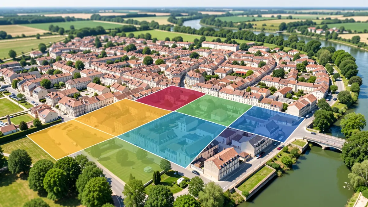
Citizen participation will thus be organized around 5 geographical sectors, identified to ensure balanced representation of the communal territory. These neighborhoods are: Castelnau Nord (including Courtarelles, Cantegril, Mas du diable, Domaine des Oliviers, Caylus, Palais des sports), Castelnau Est (Devois, Aube Rouge, Route de Nimes, ZA la Garrigue, chemin de Sablassou, Languedoc, Provence, Mendrous, Pins, Mûriers, Laporte), Castelnau Ouest (chemin des Aires, Champ Juvénal, Centurions, Chênes, Allut, rues Eclair, Grenouillère, place de l’Europe, Jules-Ferry, Château d’eau, centre historique, Clos des Guilhems, Berges du Lez), Castelnau Europe (avenue de l’Europe, Galine, Vert Parc, Charles-de-Gaulle, Dassault, Perrières), and Castelnau Sud (Mas de Rochet, Pompignane, Eurêka, Jean-Mermoz, Castelnau 2000, Sablassou).
Participation methods will be detailed soon. Calls for applications, which the public will be informed about, will be issued in the coming weeks to allow citizens to get involved in local life.